For quite some time I'd heard that there was some kind of air raid shelter under the large grassed area in the middle of Jubilee Crescent. After all it is pretty much a perfect location for a public shelter as the lack of immediately close buildings would reduce the risk of flying debris and rubble etc. I have read quite a few memoirs of the blitz on the internet that describe this particular location so I thought I'd take a look one night after work to see what I could find. It didn't take very long to find the evidence of such shelter existing. As you walk across the middle of the centre grassed area, along the path, you can immediately see near the centre of the area the tell-tale concrete shape in the grass of a shelter entrance.

Viewed from the path you can see the back of the entrance closest

But from the opposite angle you can see the entrance as it would have been viewed during the blitz (though obviously filled in with earth since)

If you compare the shelter entrance from the Jubilee Crescent site (above) with the entrance to the shelter in the war memorial park (below) you can see the similarities in construction. There are a few differences however.

The Memorial park shelter entrance has a concrete lined square positioned approximately 10 meters behind the entrance, which you can just about make out on the ground in the distance on the image above. This doesn't appear with the shelter entrance at the Jubilee Crescent site. There is a change in the growth of the grass at Jubilee Crescent in the approximate similar location but this is not directly behind the entrance as it is in the Memorial Park. The image below shows the shelter entrance in the upper left corner and the shape where the grass colour is slightly lighter as if something is underneath this area and has affected the grasses growth. Could this be the square concrete hole arrangement as seen at the Memorial Park site except it has been covered over? Or was the this concrete square originally further over and now covered over with the path?

There are some other concrete pieces breaking out from the grass not too far from the shelter entrance as illustrated in the photograph below

There are also some sunken areas of ground close by (as shown below) that may or may not be as a result of the shelter but you can't help but think that it has something to do with it

The photograph below illustrates the location of some of these areas of interest. To the far left and half way up the picture is the shelter entrance. The bottom left shows the sunken area from the photo above and there is another slightly sunken area to the left of the tree. Just to the left and down from the bald sunken area by the tree is the patch of discoloured grass that appears to be growing in a tell-tale square formation.

Just as one more point of interest the image below shows the left hand concrete sunken wall of the shelter. On the very end is a square that has been purposely manufactured into the concrete as if something should have slotted in to this. Im not sure what would have but it is definitely there for a reason.

The image below taken from Google Earth 1995 still shows the shelter entrance as it was then. You can just make it out poking out from the tops of the trees.
Unfortunately the 1945 Google Earth view is too poor a quality to be able to illustrate the site at that period. It does however still highlight the fact that a path crossed across the green and that, barring a shift in this paths location, the shelter entrance always faced away from the path. I wonder if this means that the shelter opens out to a large underground area under the green on the opposite side of the path to the entrance. I will do a further post in the future if I can find anymore information regarding the size etc of this shelter.

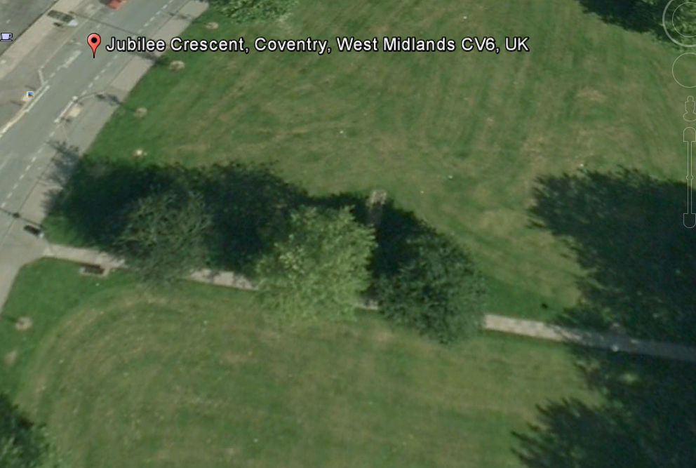
View Jubilee Crescent Air Raid Shelter in a larger map
No comments:
Post a Comment